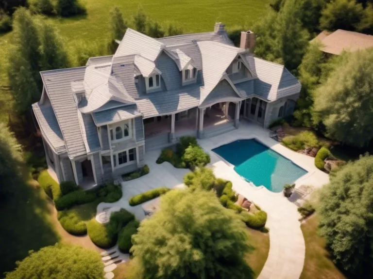
Drones have revolutionized the field of real estate photography and mapping, providing stunning aerial views and detailed maps for prospective buyers and sellers. In this article, we will explore how to effectively use drones for capturing high-quality photos and creating accurate maps of properties.
When it comes to real estate photography, drones offer a unique perspective that can showcase the entire property, including the surrounding landscape and neighborhood. To get started, it's important to choose the right drone with a high-resolution camera that can capture clear and crisp images. Practice flying the drone to ensure smooth and stable footage, and experiment with different angles to highlight the best features of the property.
For mapping purposes, drones equipped with GPS technology can create detailed aerial maps of properties to provide valuable information for buyers and sellers. By flying the drone over the property and capturing images, you can create 2D and 3D maps that showcase the layout, boundaries, and features of the land. This can be especially useful for large properties or remote areas that are difficult to access on foot.
To ensure the safety and legality of using drones for real estate photography and mapping, it's important to familiarize yourself with local regulations and obtain any necessary permits or licenses. Always fly the drone in clear weather conditions and avoid flying near airports, crowded areas, or restricted airspace.
In conclusion, drones are a powerful tool for real estate professionals looking to create stunning visuals and accurate maps of properties. By following these tips and guidelines, you can effectively use drones to enhance your real estate photography and mapping efforts.


